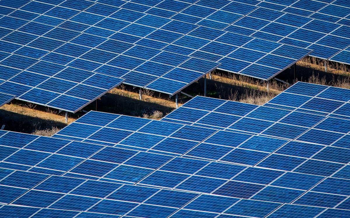
Orthomosaic & 3D Mapping with Drones
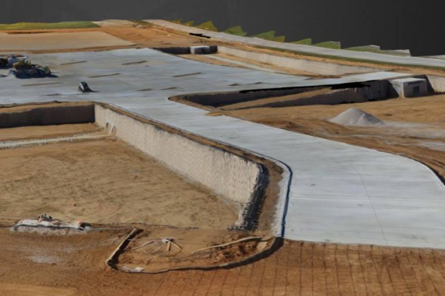
Orthomosaic & 3D Mapping with Drones
At Texas Drone Works, we provide drone-based orthomosaic and 3D mapping services. Our use of drone technology helps us deliver detailed, precise, and efficient data, supporting a wide range of industries including construction, agriculture, environmental conservation, and real estate. We’re committed to offering services that meet your specific needs, providing a unique blend of technology and expertise. By entrusting us with your mapping needs, you’re choosing a team that values accuracy, quality, and customer satisfaction above all.
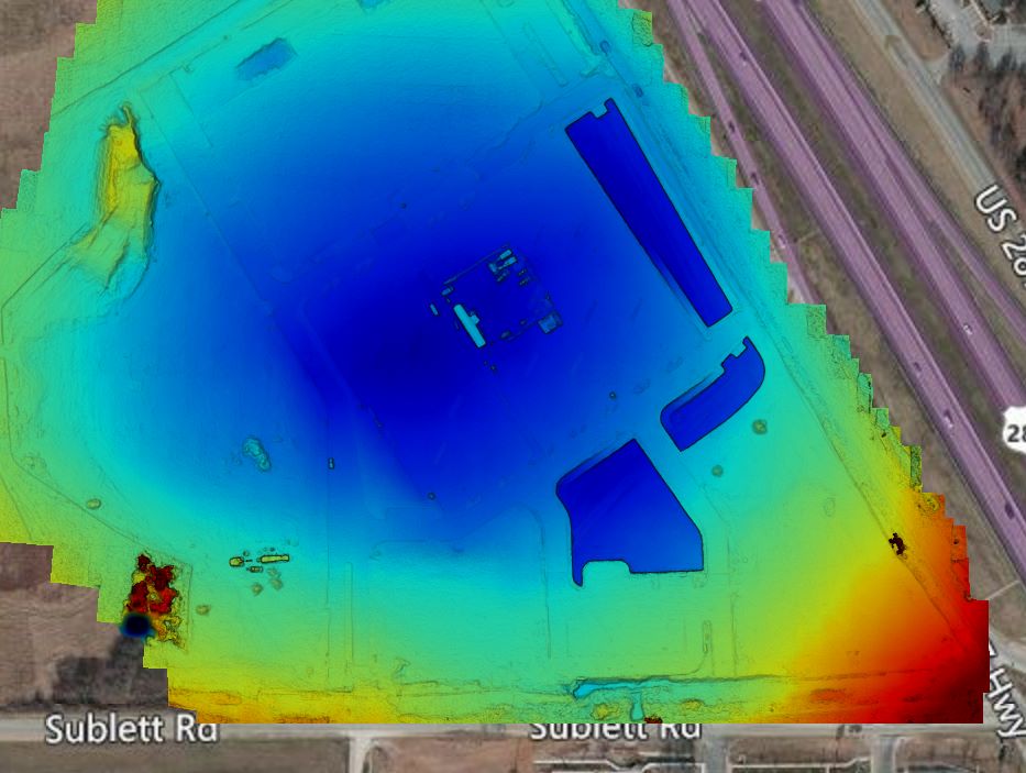
With the help of cutting-edge drone technology, we’re able to capture high-resolution images. Furthermore, these images are meticulously stitched together, creating intricate orthomosaic maps. Significantly, these comprehensive maps offer a bird’s-eye view of your site. Consequently, they provide invaluable data for effective planning, decisive decision making, and efficient project management. Our orthomosaic mapping services are designed to provide a unique perspective on your site, giving you the tools you need to drive success.
Taking our services a step further, we offer 3D mapping. For this, our drones capture images from multiple vantage points and altitudes. Consequently, this allows us to construct a detailed 3D model of your site. This service can provide you with a richer understanding of your terrain and structures. Hence, it proves invaluable for construction projects, land surveys, and site inspections. With our 3D mapping services, you gain a deeper perspective of your project site, empowering your decision-making process.
Upon completion of each mapping project, our team of experts meticulously analyze the data gathered. Subsequently, a comprehensive report is prepared, outlining key findings and providing insights. Therefore, this enables you to maximize the value of the data, turning raw information into actionable insights. With our detailed reporting, you gain the knowledge you need to make informed decisions.
At Texas Drone Works, we fuse our advanced drone technology with skilled data analysis. As a result, we’re able to produce accurate and detailed orthomosaic and 3D maps. Above all, we are dedicated to delivering valuable insights about your site, ensuring you have the information you need to manage your projects effectively.
Our drone-based mapping approach offers a safer and more efficient alternative to traditional methods. With Texas Drone Works, you can obtain detailed maps without the risks associated with manual surveys. Hence, our services provide a safer, faster way to gather the data you need, without compromising on quality or detail.
Designed to cater to a wide range of needs, our services span across different industries. These include construction, agriculture, conservation, or real estate. Our drone mapping provides valuable insights applicable to a broad range of scenarios. Thus, no matter your industry, we have the tools and expertise to meet your mapping needs.
Future-Ready
At Texas Drone Works, we acknowledge the ever-increasing role of drone technology in mapping and surveying. Our services reflect this trend, employing advanced technology while upholding a commitment to quality and precision. As the landscape of mapping evolves, we’re prepared to evolve alongside it, continuously adapting to new methods and technologies. Therefore, our adaptability, combined with our unwavering commitment to excellence, is what truly sets us apart.
Consider Texas Drone Works as your trusted partner in orthomosaic and 3D mapping. Our team is dedicated to assisting you at every step of the process, from initial planning to final data analysis. We understand that each project is unique, and we’re ready to customize our services to meet your specific needs. Let’s collaborate to bring a new dimension of understanding and efficiency to your projects. Together, we can create maps that truly make a difference.
